An agribusiness or farmer cooperative wants one platform where growers record field work, spot crop problems early and use water and inputs more precisely. This blueprint shows how we combine an offline-first mobile app, field sensors, satellite imagery and AI models. Recommendations stay practical and farmers or agronomists make the final call.
This is a solution blueprint: a representative engagement showing how we approach this kind of project. It is not a specific client story.
IndustryAgriculture & AgTech
Timeline6–9 months to a production pilot across one growing season
Teamproduct lead, 2 mobile engineers, 2 backend/data engineers, 1 ML engineer, 1 designer, agronomy advisor
The Challenge
Crop diseases and pests are often noticed only after they have spread, when treatment costs more and yield is already lost.
Fields have weak or no mobile coverage, so apps that need a constant connection fail exactly where they are used.
Sensor readings, weather, satellite imagery and paper field notes live in separate places and are never looked at together.
A cooperative or agribusiness serves many farms, each with its own fields, crops and data, and needs to keep them separate.
What the Solution Delivers
Photo-based crop disease and pest checks that work in the field, even offline
Field-level crop health maps from satellite imagery, refreshed as new passes arrive
Irrigation and input recommendations from soil sensors, weather forecasts and crop stage
One multi-tenant platform where each farm's fields, records and models stay separate
Architecture
Farm platform architecture
Field data from phones, soil sensors and satellites flows into ingestion services. AI models turn it into crop health maps, disease alerts and irrigation advice, and farmers and agronomists review the recommendations before acting.
The situation
Farming decisions are time-sensitive and local. A fungal disease that starts in one corner of a field can spread within days. Irrigating on a fixed schedule wastes water in a wet week and stresses crops in a dry one. Much of the useful information already exists: soil moisture sensors, weather forecasts, free satellite imagery and the farmer’s own observations. But it sits in separate apps, spreadsheets and notebooks, and rarely reaches the person in the field at the right moment. The platform we design brings it together and turns it into timely, practical advice.
Our approach
1. Build the mobile app for the field, not the office
Farmers and field staff use the app on a phone, often with gloves, in bright sunlight and with poor coverage. We build it in Flutter with an offline-first data layer. Field records, photos, tasks and maps are stored on the device and synced when a connection returns, with conflict handling so two people editing the same field don’t overwrite each other. The interface uses large touch targets, high contrast, local languages and units, and voice notes for quick observations.
2. Detect crop problems from a photo
A grower photographs a suspicious leaf and gets an answer in seconds. A compact image model runs on the device with TensorFlow Lite for an instant first check, even offline, and a larger server-side model refines the result when the phone reconnects. The app shows the likely disease or pest, how confident the model is, and what to check next. Low-confidence results and anything that would trigger a treatment are flagged for an agronomist to confirm. The models are trained and evaluated on labeled images for the crops and regions the platform serves, and every confirmed case improves the next version.
3. See every field from above
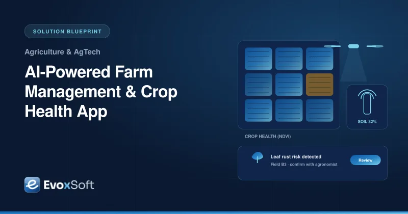
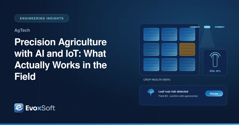
Free Sentinel-2 satellite imagery covers each field every few days. The imagery pipeline removes cloudy pixels, clips images to field boundaries stored in PostGIS, and calculates vegetation indices such as NDVI. Those indices highlight areas that are stressed, waterlogged or developing unevenly compared with the rest of the field. Growers get a crop health map and a short list of zones worth walking to, instead of a raw image.
4. Recommend irrigation and inputs, not just show data
Soil moisture and weather sensors report through AWS IoT Core into a time-series store. The irrigation advisor combines current soil moisture, the weather forecast and the crop’s growth stage to suggest when and how much to irrigate, and explains why. The same signals, together with satellite trends and field records, feed season-to-date yield forecasts that help with planning, storage and sales. Recommendations are advice with reasons attached, so the farmer stays in control.
5. Serve many farms on one platform
Cooperatives, input suppliers and agribusinesses serve many farms at once, so the platform is multi-tenant from the start. Each organization sees only its own farms, and each farm’s fields, records and sensor data are isolated at the database level. Agronomists can be granted access to several farms with explicit consent. Farm data belongs to the farmer, can be exported, and is never shared with third parties without permission.
How we deliver it
We plan around the growing season. A pilot with a small group of farms runs through one full season, starting with field records, offline sync and photo diagnosis, then adding sensors, satellite maps and irrigation advice as data builds up. Agronomists review model outputs throughout the pilot, and we track model accuracy on a held-out set of confirmed cases before widening the rollout. See our web and mobile app development approach for offline-first apps, and our cloud services for the IoT and data platform behind it.
Is this relevant to you?
If you are an agribusiness, cooperative or AgTech startup that wants to put AI and sensor data in growers’ hands, in a form they will actually use in the field, this blueprint is a practical place to start. Explore our custom software development service or talk to us about your farm platform.
Building something similar?
We'll walk through your requirements and share how we'd approach architecture, timeline and team for your project.
We use essential technologies to run this site. With your OK, we also use cookieless analytics and Google Maps, which may set cookies. No ads, and we never sell your data. Cookie Policy
Privacy preferences
Choose which optional technologies we may use. Strictly necessary ones are always on because the site can’t work securely without them. Details are in our Cookie Policy.
Your browser sends a Global Privacy Control signal, so optional technologies are off by default.
Strictly necessary
Security and spam protection (Cloudflare, Google reCAPTCHA), form delivery, and remembering these choices.
Always on
Cloudflare Web Analytics counts page views without cookies or cross-site tracking.
Shows our office on Google Maps. Google may set cookies and receive your IP address.